 CostaRicaHelicopterPlan your escape ↗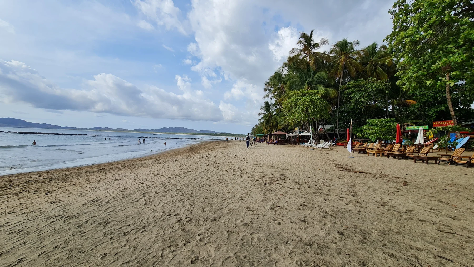
Coastline curves. Park and ocean in one glance.
Make it your own
Decide whether you want a short scenic hop or a longer coast circuit before you book. Confirm departure town (Quepos-area vs other Central Pacific pads) on the listing. For non-flight days, keep park tickets and single-use plastic rules in mind if visiting Manuel Antonio National Park.
Before you go
Official tourism materials place Manuel Antonio National Park about 7 km beyond Quepos and group Jacó/Quepos in the Central Pacific coastal belt. Dry months (roughly Dec–Apr) are popular for clearer flying weather; green season still supports flights when operators clear weather holds. Always verify current route and cancellation policy on the partner page.